
Welcome aboard to the our video site for sailors. We are being constantly blasted by scammers and pirates, so registration is invite only
contact@sailorsahoy.com with "Invite". No spam, no newsletters. Just a free account


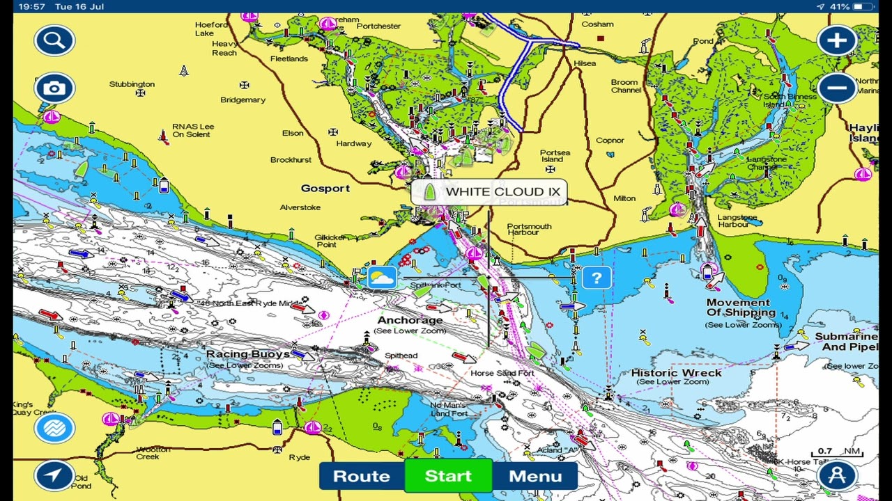


T3 Lesson 1 Y7 Charts and Buoys - Mr Bew

T3 Lesson 1 Y7 Charts and Buoys - Mr Bew Charts and buoys are essential tools used in marine navigation to help ensure the safe passage of vessels through waterways. Charts are maps specifically designed for use by mariners, and they provide information on water depths, navigational hazards, and the location of navigational aids such as buoys and beacons. They also include information on coastal features, landmarks, and other relevant information that may be useful for navigation. Buoys, on the other hand, are floating devices that are anchored to the seabed and used to mark specific locations in the water. They can indicate the presence of navigational hazards, such as rocks, shoals, or wrecks, and can also help guide vessels along safe shipping channels. Buoys come in a variety of types and colors, each with its own specific meaning. For example, red buoys indicate the right side of a channel when traveling upstream, while green buoys indicate the left side. Yellow buoys may indicate caution, while white buoys may indicate safe water. Overall, charts and buoys are critical tools for safe marine navigation, and mariners should be familiar with their use and meaning to ensure safe passage through waterways.