Welcome aboard to the our video site for sailors. We are being constantly blasted by scammers and pirates, so registration is invite only
contact@sailorsahoy.com with "Invite". No spam, no newsletters. Just a free account


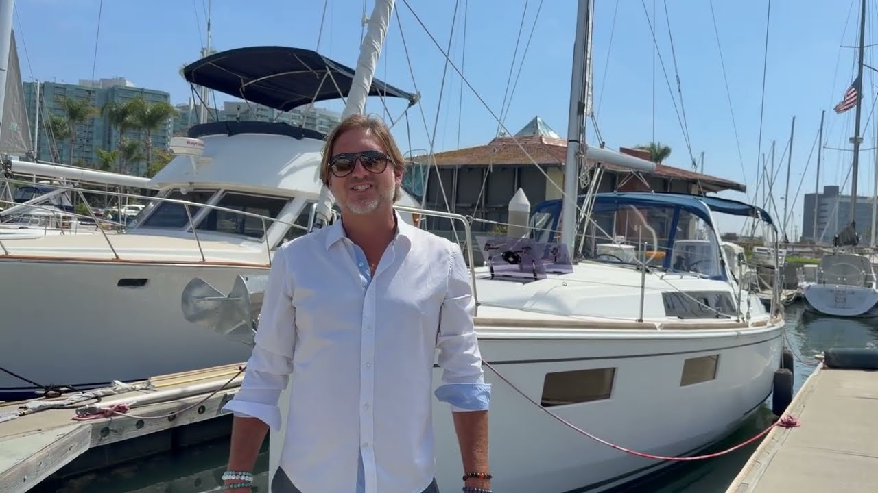


![2023 Rosborough 25 For Sale [$185,000] - Quick Video Tour](https://i.ytimg.com/vi/pvwFY1x9_Jw/maxresdefault.jpg)


Video 2: Stop Looking at Wind Maps: How to Actually Read a Forecast (PredictWind 2/5)
The map is not the territory—and a "pretty wind map" is not a passage plan. In this second installment of our 5-part intensive series, we’re diving into the engine room of weather forecasting. After 85,000 miles at sea, I’ve seen how easy it is to trust a colorful screen and sail straight into a disaster. This video is about moving from "looking" at the weather to interpreting it like a professional. We break down where the data actually comes from, why different weather models often disagree, and how to use "Validation" to decide which forecast is worth betting your life on. 📘 GET THE BOOK & SAVE $100 My book "Be The Captain" is the foundation of this entire series. It pays for itself because every reader gets 20% OFF a PredictWind Standard or Pro subscription (up to a $100 savings). 👉 Grab your copy and the discount here: https://bethecaptain.com/ ⚓️ WHAT YOU WILL LEARN IN VIDEO #2: We are taking the setup from Video #1 and putting it to work. In this session, we cover: The Anatomy of a Forecast: From weather buoys and satellites to GRIB (Gridded Binary) files. The Models Explained: Understanding the "personalities" of ECMWF, GFS, UKMO, ICON, and the AI-driven AIFS. PredictWind Proprietary Models: Why PWG, PWE, and PWAI provide the high-resolution edge you need. The Validation Tool: How to check which model has been the most accurate in your specific area over the last 24 hours. GMDSS Integration: Why you must never ignore official international maritime safety warnings, even if the routing looks clear. The "USS San Francisco" Rule: Why zooming in and setting exclusion zones (Boundaries) is the difference between a successful passage and hitting an underwater mountain. ⚖️ TECHNICAL DISCLOSURE & TRANSPARENCY To make this series possible, PredictWind provided the iPad and the professional editing used in these videos, along with my Pro account. However, I have received no cash payment for this series. I retain 100% editorial control. My goal is to get you the best training—and the best price—on the tools I trust with my own life. 📽️ THE PREDICTWIND MASTERCLASS SERIES Video 1: The Foundation & Setup Video 2: Weather Routing & Interpretation (You are here) Video 3: Power Routing for Comfort Video 4: Safety, AIS & Extra Features Video 5: The Offshore App & Starlink Integration Video Chapters 00:00 Weather Routing vs. Pretty Maps 00:40 Where Weather Data Comes From 01:07 What are GRIB Files? 01:39 Evolution of Sailing Weather Tools 02:53 GFS vs. ECMWF: Weather Models Explained 03:30 AI and PredictWind Proprietary Models 04:22 How to Use Forecast Validation 04:51 Step-by-Step Routing Setup 05:50 Why Graphs are Better Than Maps 06:30 Comparing Routes in the Summary Table 07:01 Vertical Acceleration & Crew Comfort 07:24 Navigation Safety & Exclusion Zones 08:32 GMDSS: Official Maritime Safety Warnings 09:55 Rerunning Weather Routes Offshore 10:11 Risk, Comfort, and Seamanship #Sailing #PredictWind #WeatherModels #OffshoreSailing #BeTheCaptain #GRIB #GMDSS #SailingZingaro #Seamanship #WeatherForecasting