

Celana pendek
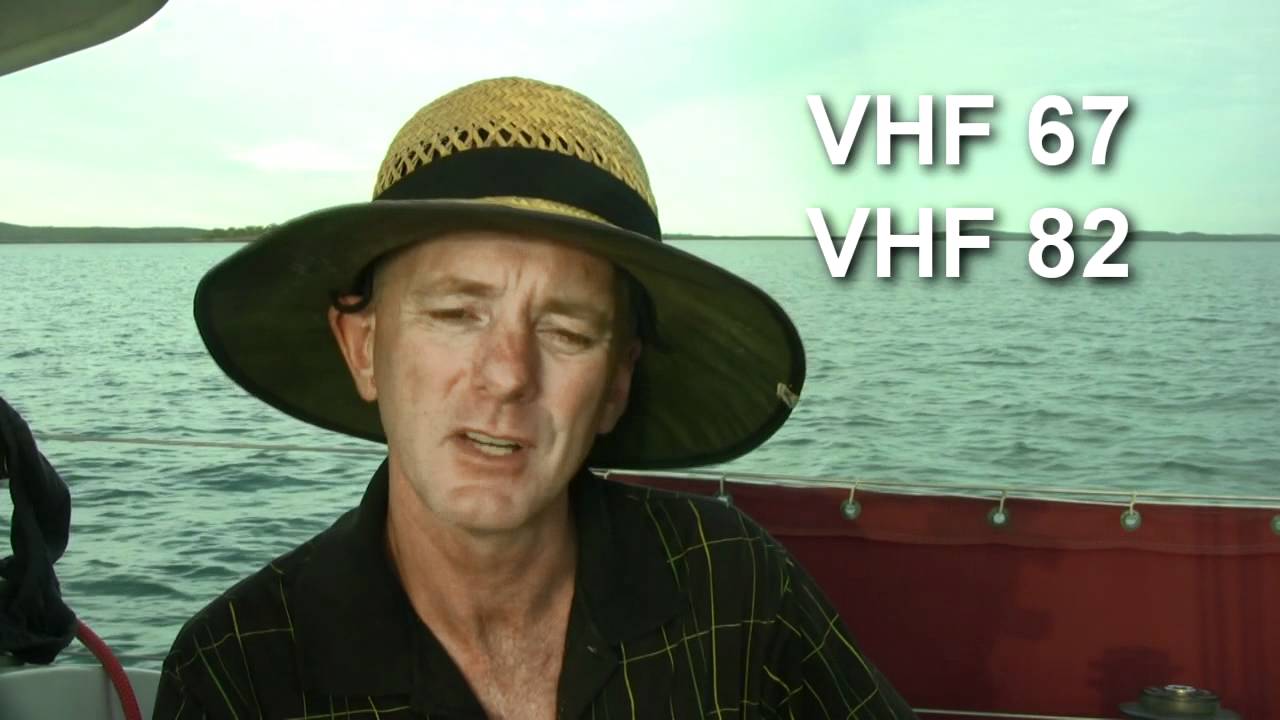
Care must be taken crossing the Wide Bay Bar at the southern end of Fraser Island. There are directional lights on both Fraser Island and Inskip Point which guide craft across the bar. Up to date GPS waypoints are also available from the Tin Can Bay VMR on VHF 67 and VHF82. They can also be contacted on tel: 07 5486 4290 More info at http://www.liveaboardcruiser.com

Attaching a spinnaker pole to the headsail and mast to take advantage of an aft wind. In this case it was a south east trade wind pushing me along from Magnetic Island to Great Palm Island

This rare black cockatoo looking over the offereings at Horseshoe Bay, Magnetic Island
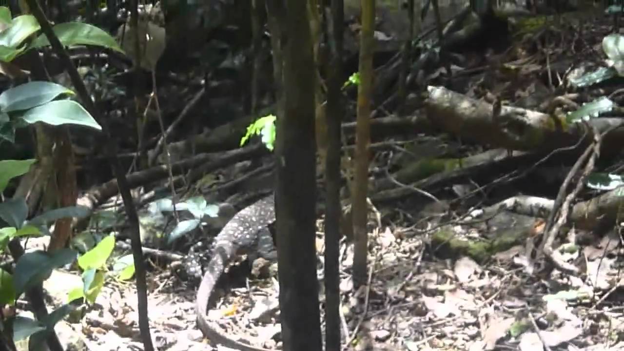
This goanna was resting next to the walking track on the way up to the Whitsunday Peak. The Whitsunday Peak is the highest point o view the Whitsunday Islands Queensland. More info at http://www.liveaboardcruiser.com This fellow was in excess of a metre in length.
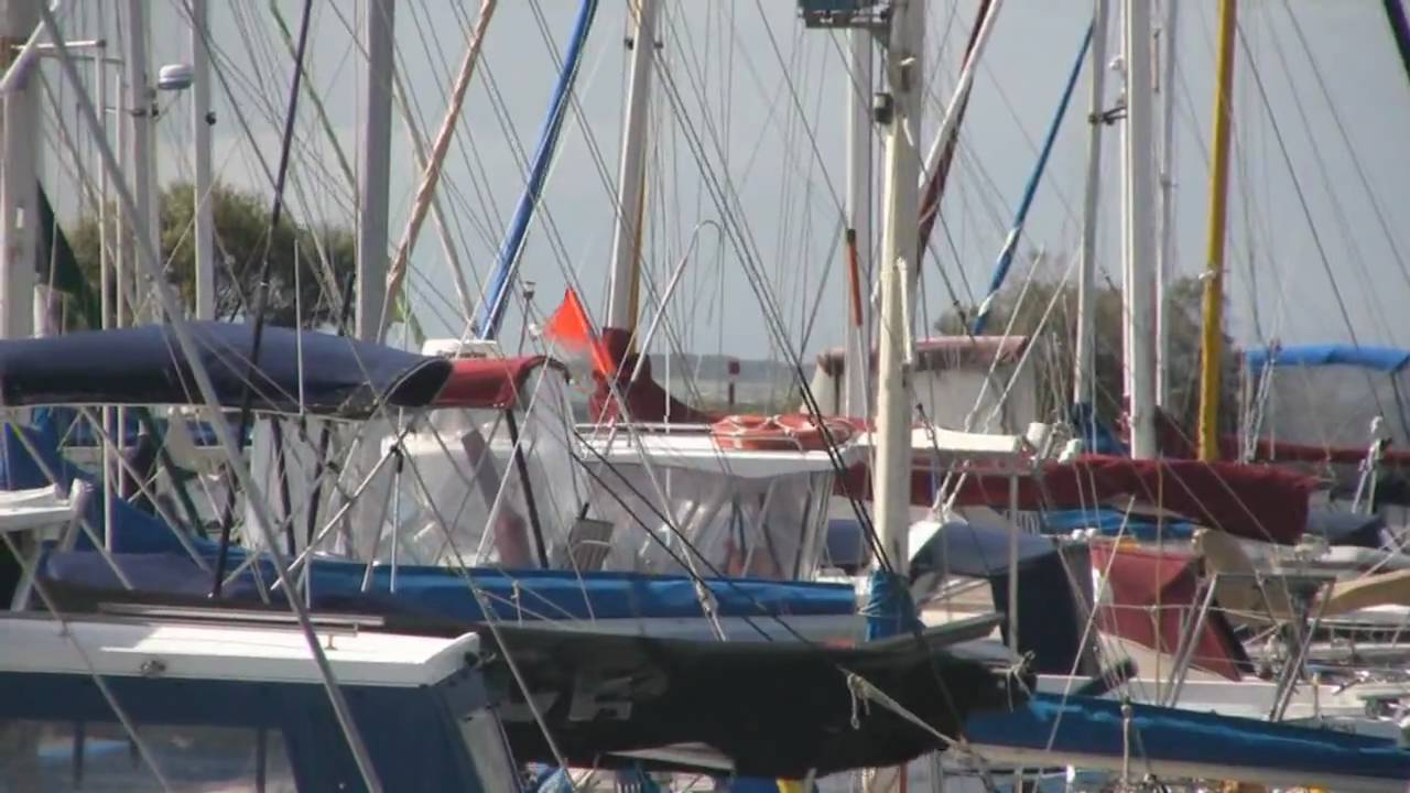
The marina is a well protected area but as this video shows, it was very windy around the marina.

Escape from the rat race and enjoy life aboard a cruiser.

Find more like this at http://www.LiveAboardCruiser.com Tides change each day. Use the tide charts with different dates using a Navman chartplotter to plan your next route.

Find more like this at http://www.LiveAboardCruiser.com Setting the local time on the Navman Chartplotter is important for reading tide charts. The time is set based on the difference between local time (including daylight saving) and UTC or GMT.