Dernières vidéos

Learn how to perform manual radar plotting when a target's bearing does not change, indicating a potential collision course. In this step-by-step tutorial, you'll learn how to plot the target's relative motion, determine the Closest Point of Approach (CPA) and Time to Closest Point of Approach (TCPA), identify the Relative Motion Line (RML) and Direction of Relative Motion (DRM), and calculate the target's relative speed using the 6-minute rule. #radar #colreg #collisionregulation #navigation #passageplanning #seamanship #maritime #seafarer #seaman #bsmt #maritimestudents https://youtu.be/F9PS_SHRNBQ https://youtu.be/xEcA5rV32kY

Learn how to calculate gyro error and compass deviation using the Moon as the celestial body. In this step-by-step tutorial, you'll learn the ABC Method, determine the Greenwich Hour Angle (GHA), Local Hour Angle (LHA), and declination from the Nautical Almanac, and compute the Moon's true bearing using both a scientific calculator and Norie's Nautical Tables. Finally, you'll use the results to determine the ship's gyro error, true course, magnetic error, and compass deviation through a complete worked example. #astronomy #gyroerror #celestialnavigation #navigation #maritime #seafarer #seaman #bsmt

Learn the difference between True Bearing and Relative Bearing in this easy-to-follow marine navigation tutorial. This video explains their definitions, reference directions, formulas, and practical applications, with step-by-step calculations and worked examples. #navigation #passageplanning #voyageplanning #seamanship #maritime #seafarer #seaman #bsmt #maritimestudents
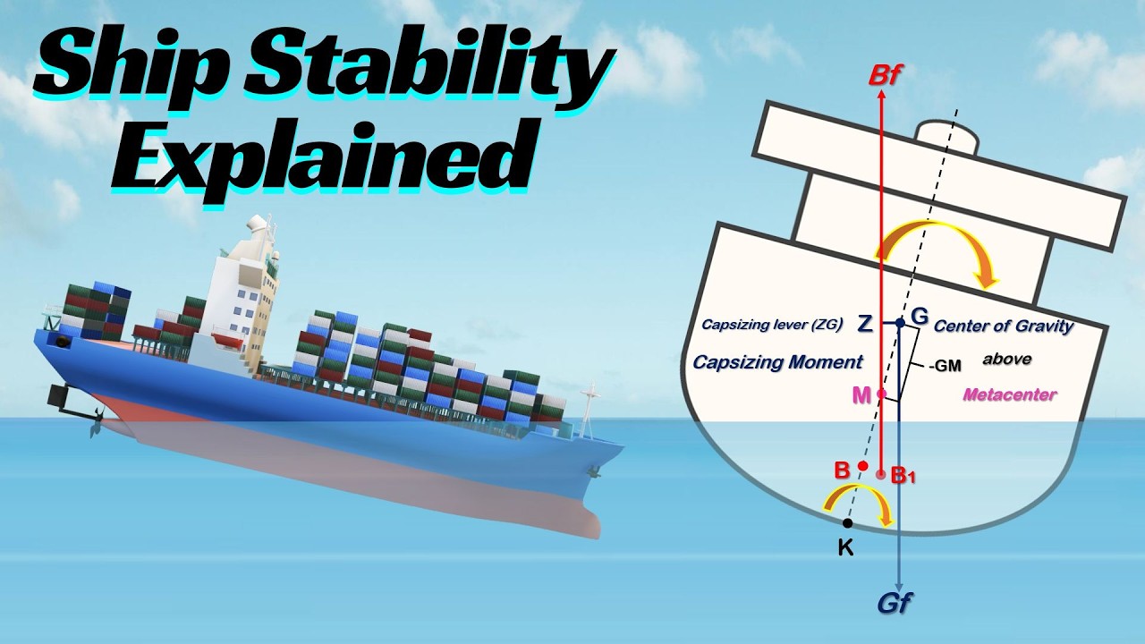
Learn the fundamentals of ship stability in this step-by-step tutorial. This video explains why steel ships float, the Law of Flotation, Archimedes' Principle, the Center of Gravity (G), Center of Buoyancy (B), Metacenter (M), Metacentric Height (GM), righting moment, stable, unstable, and neutral equilibrium, as well as the angle of loll. #stability #hydrodynamics #maritime #seafarer #seaman #bsmt #maritimestudents #seamanship #trim https://youtu.be/IM4HzhwvLDE https://youtu.be/w6FBiW5hQGo
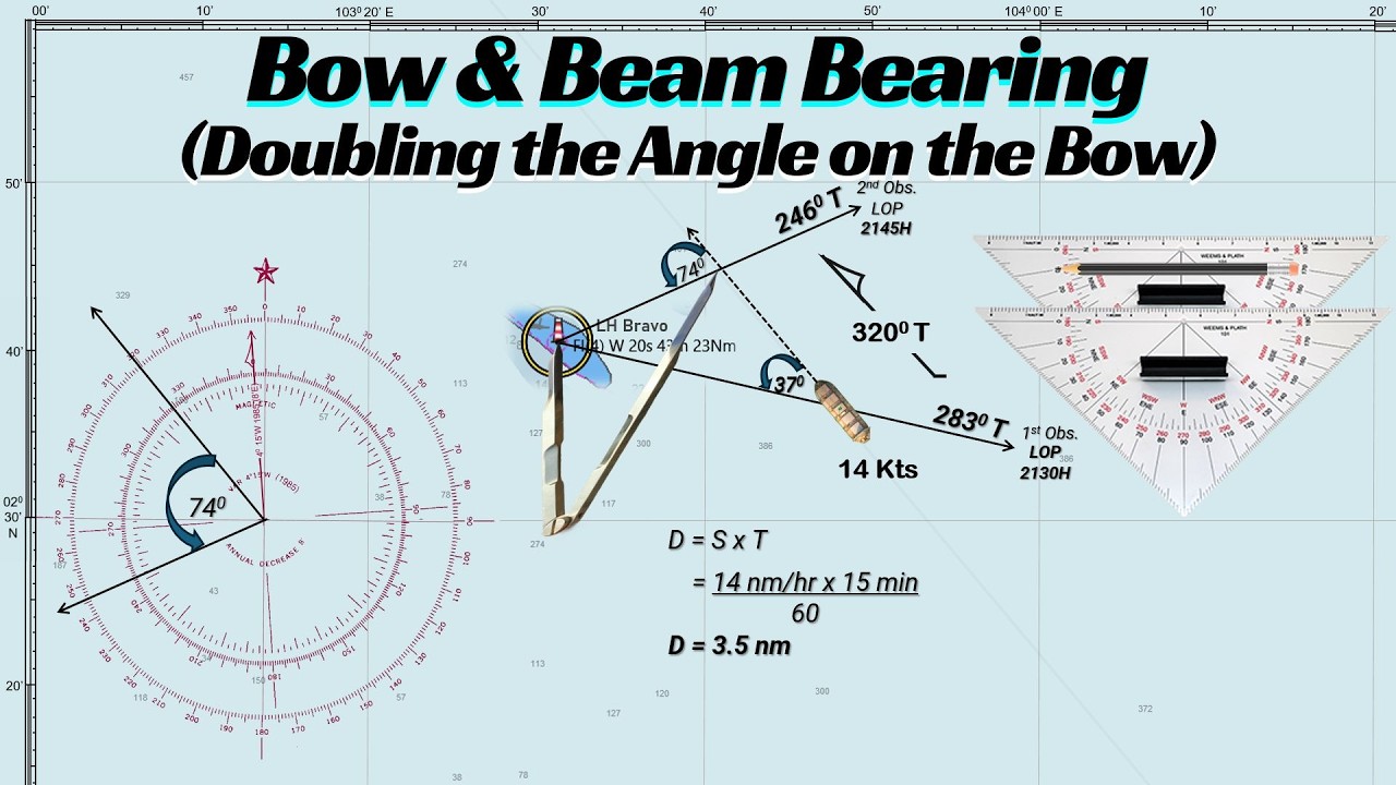
Learn how to use the Bow and Beam Bearing (Doubling the Angle on the Bow Method) to determine a ship's position using only a single charted object. This classic coastal navigation technique is an essential backup method when electronic navigation equipment fails. #navigation #passageplanning #voyageplanning #seamanship #maritime #seafarer #seaman #bsmt #maritimestudents

What is the difference between Dead Reckoning (DR) and Estimated Position (EP) in marine navigation? In this video, we explain how each position is determined, the factors considered in its calculation, and when they are used at sea. Through practical examples, you will learn how to plot DR and EP positions and understand the effects of wind, current, and other navigational influences on a ship’s position. This tutorial is ideal for maritime students and cadets for onboard operations. #navigation #passageplanning #voyageplanning #seamanship #maritime #seafarer #seaman #bsmt #maritimestudents https://youtu.be/HQOd9Y8yOco
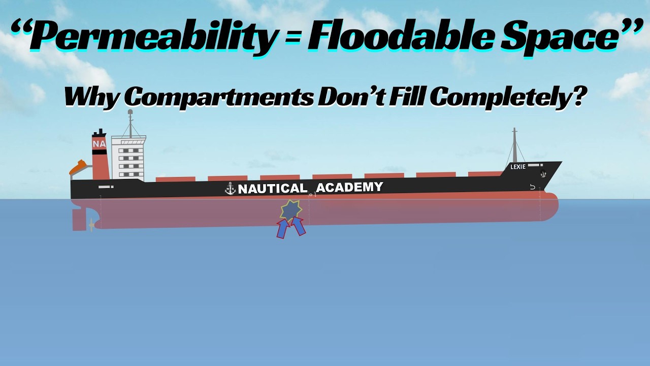
Learn the concept of permeability in ship stability and understand why flooded compartments do not completely fill with water. In this video, I explain the meaning of permeability, its importance in damage stability, typical permeability values used in ship calculations, and how permeability affects buoyancy during bilging. This tutorial also covers broken stowage, stowage factor, and a step-by-step sample calculation to determine the permeability of a flooded compartment. Ideal for maritime students, deck officers, and anyone studying ship stability and damage stability calculations. #permeability #stability #hydrodynamics #maritime #seafarer #seaman #bsmt #maritimestudents #seamanship #trim https://youtu.be/GtzlzFFwvIw

Learn how to calculate the total cargo loaded on a bulk carrier using a Final Draft Survey in this step-by-step tutorial. This video walks you through the complete process of manual calculation. #draftsurvey #stability #hydrodynamics #maritime #seafarer #seaman #bsmt #maritimestudents #seamanship #trim https://youtu.be/P14Xbnm17C8

Learn how to identify and apply Isolated Danger Marks, Safe Water Marks, and Special Marks in passage planning. In this video, we break down their definitions, characteristics, light patterns, and practical uses to help you navigate safely and confidently. #isolateddangermarks #safewater marks #specialmarks #lateralmarks #cardinalmarks #IALA #NavigationalAid #passageplanning #voyageplanning #seamanship #maritime #seafarer #seaman #bsmt #maritimestudents #ecdis https://youtu.be/T8ALftqK2H4 https://youtu.be/__Da9THV-co https://youtu.be/iVYZ9DNW9GE

Learn how to determine gyro error and compass deviation using a star through the ABC Method in this step-by-step guide. In this tutorial, we use the star Antares to demonstrate how to calculate GHA, LHA, and true bearing using the Nautical Almanac and Norie’s Tables. You’ll also learn how to convert azimuth, determine gyro error, and find compass deviation with clear explanations and practical methods. #astronomy #gyroerror #celestialnavigation #navigation #maritime #seafarer #seaman #bsmt
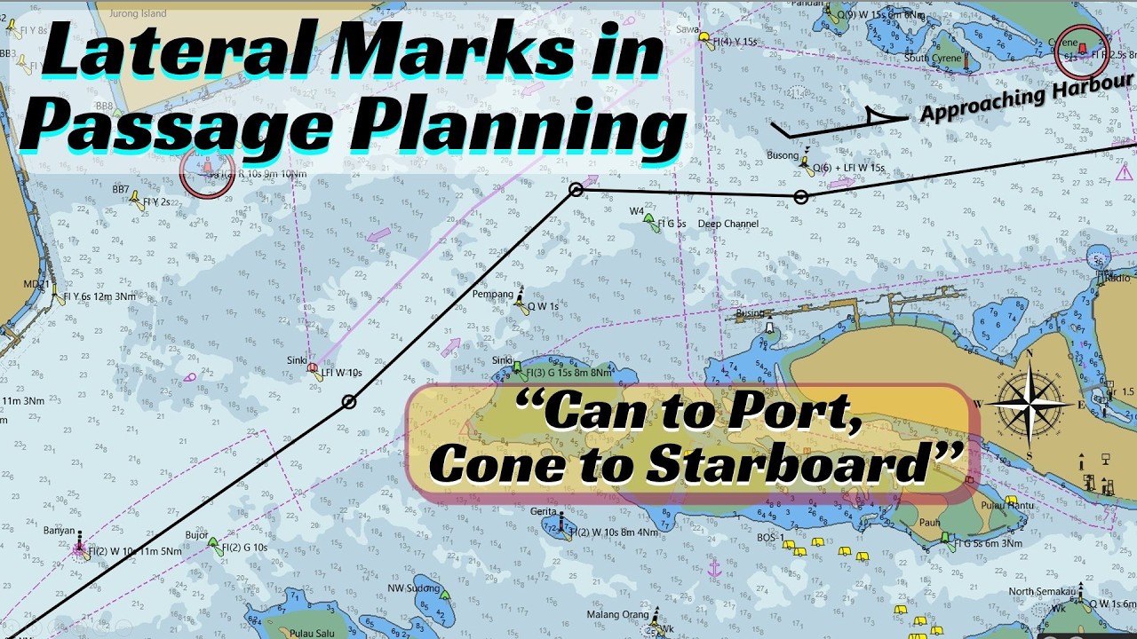
In this video, learn how lateral marks are used in passage planning and understand the difference between IALA Region A and Region B. The tutorial explains port-hand and starboard-hand marks, buoy shapes, colours, topmarks, light characteristics, and the mnemonic “Can to Port, Cone to Starboard.” Real chart examples are also used to demonstrate how to correctly lay down a planned track, including the use of preferred channel marks. #lateralmarks #cardinalmarks #IALA #NavigationalAid #passageplanning #voyageplanning #seamanship #maritime #seafarer #seaman #bsmt #maritimestudents #ecdis https://youtu.be/__Da9THV-co https://youtu.be/iVYZ9DNW9GE
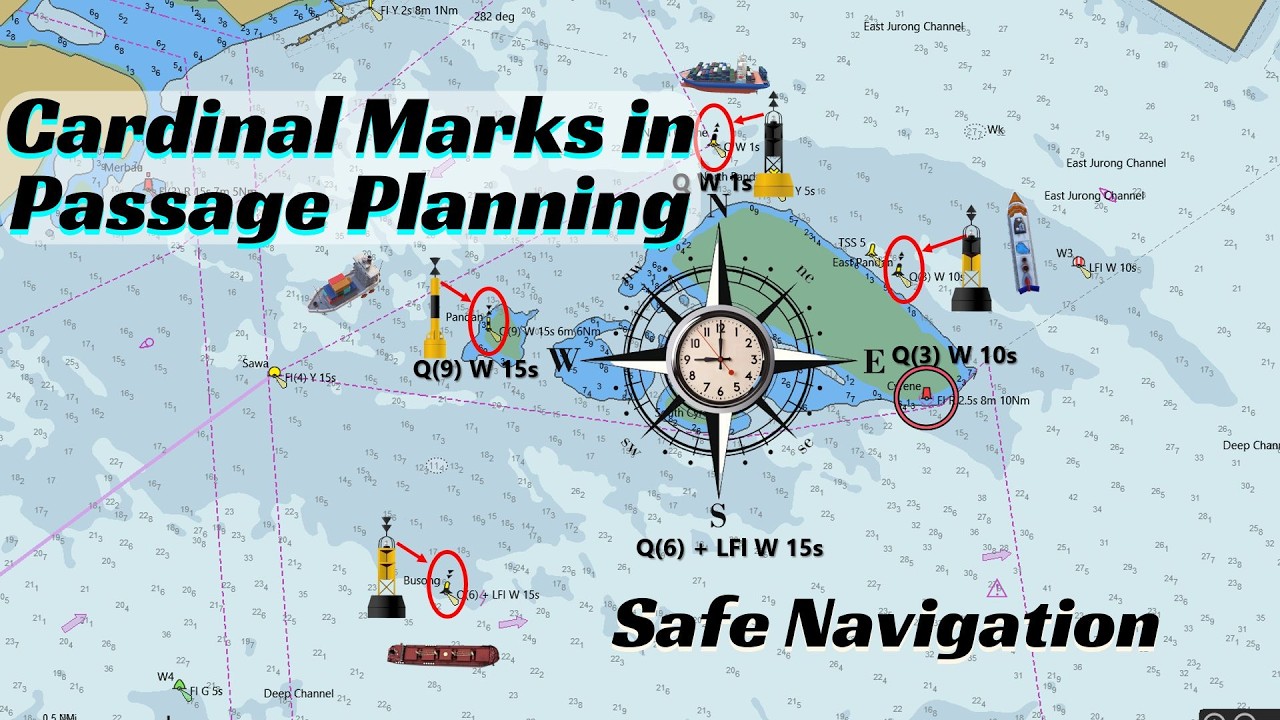
In this video, we explain Cardinal Marks—North, South, East, and West—and how they are used to indicate safe water around navigational hazards. Learn how to identify each mark by its colors, topmarks, and light characteristics, along with simple memory techniques to make them easier to remember. This complete guide is ideal for maritime students and cadets, improving their navigation skills. #cardinalmarks #NavigationalAid #passageplanning #voyageplanning #seamanship #maritime #seafarer #seaman #bsmt #maritimestudents #ecdis https://youtu.be/iVYZ9DNW9GE https://youtu.be/h9XE9Z2wOFw https://youtu.be/6zxZ_-qq4vU

This video explains how parallel indexing is used during course alteration to monitor a vessel’s position along the planned track. Using radar tools such as EBL and VRM, the Officer of the Watch can quickly detect any deviation from the track and take immediate corrective action. The tutorial demonstrates a practical example along the One Fathom Bank TSS, showing how to set and monitor parallel index lines before and after altering course. #parallelindexing #NavigationalAid #marineradar #arpa #passageplanning #voyageplanning #seamanship #maritime #seafarer #seaman #bsmt #maritimestudents #ecdis https://youtu.be/iVYZ9DNW9GE https://youtu.be/h9XE9Z2wOFw https://youtu.be/veHDoss_sCU
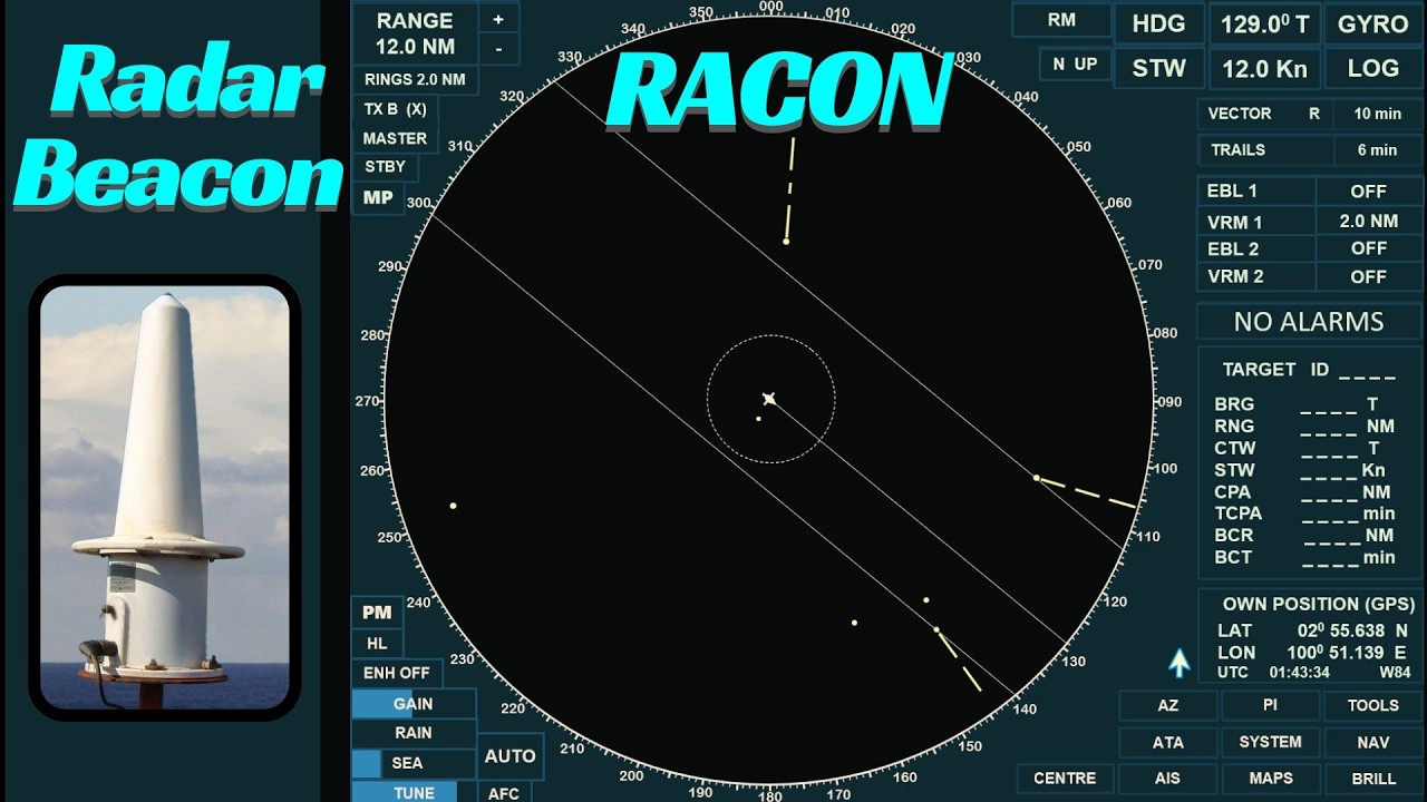
In this video, we explain Radar Beacons (RACONs) and their role in marine radar navigation. A RACON is a receiver–transmitter installed on a fixed navigational aid that responds to a ship’s radar signal by transmitting a distinctive Morse-coded response. This signal appears on the radar display and helps mariners identify the navigational aid. #NavigationalAid #marineradar #arpa #passageplanning #voyageplanning #seamanship #maritime #seafarer #seaman #bsmt #maritimestudents #ecdis https://youtu.be/iVYZ9DNW9GE

When navigating in coastal and restricted waters, correctly identifying navigational aids is critical for safe position fixing. In this video, we explain the key differences between beacons and buoys, and show which aids can be used as reliable references for primary position fixing and parallel indexing. #NavigationalAid #passageplanning #voyageplanning #seamanship #maritime #seafarer #seaman #bsmt #maritimestudents #ecdis https://youtu.be/veHDoss_sCU https://youtu.be/QwrhztFCpbU https://youtu.be/_0aKjwnxML8

This video explains the WETREP (West European Tanker Reporting System), including its purpose, reporting procedures, types of reports, and when and where reports must be submitted. The tutorial uses charts and practical examples to help deck officers and cadets understand how WETREP is applied during passage planning and voyage execution. #passageplanning #voyageplanning #routeingchart #seamanship #maritime #seafarer #seaman #bsmt #maritimestudents #ecdis

This video explains how to use Sailing Directions when creating a passage plan involving Traffic Separation Schemes (TSS) and Vessel Traffic Services (VTS). It shows how to identify reporting areas, understand mandatory and voluntary reporting systems, and determine when a vessel is required to report to VTS authorities. This video also explains how to interpret information from Sailing Directions, how TSS and VTS affect route planning, and when it may be acceptable to plan a route outside a traffic separation scheme in accordance with COLREG Rule 10. This lesson is especially useful for maritime students, aspiring deck officers, and anyone involved in passage planning and navigational safety. #passageplanning #voyageplanning #routeingchart #seamanship #maritime #seafarer #seaman #bsmt #maritimestudents #ecdis https://youtu.be/otso7w3RB7k
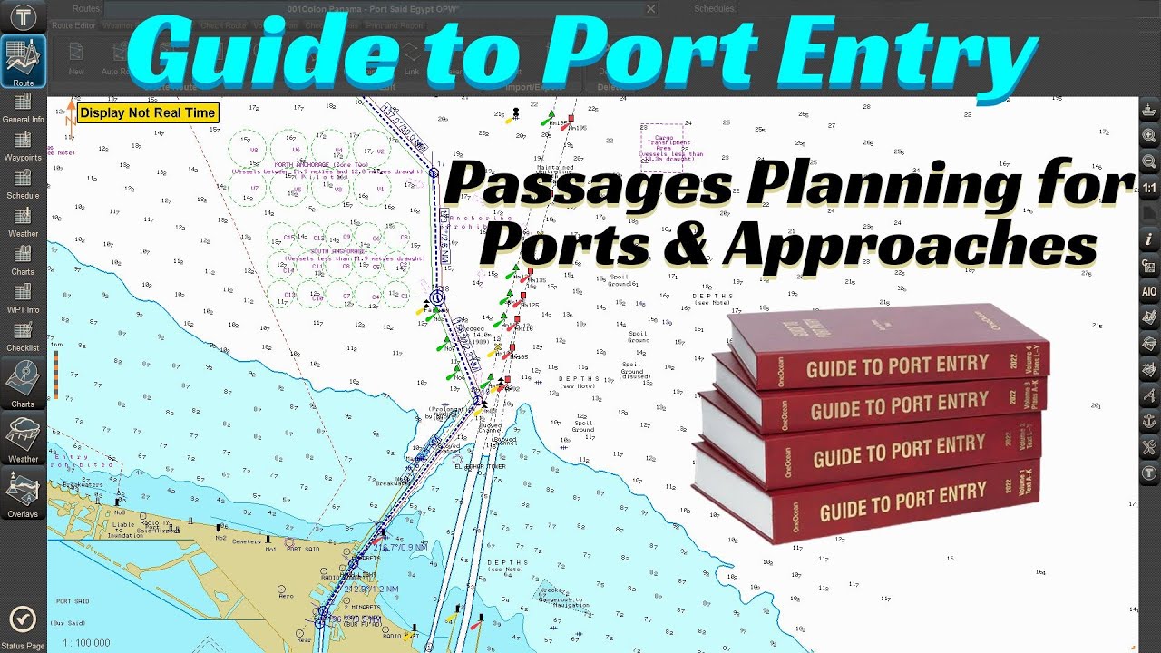
Guide to Port Entry is a vital nautical publication used by navigators and ship operators to support safe and efficient port approaches. In this video, we examine how to properly use the Guide to Port Entry as part of the passage planning process, focusing on ports, approaches, pilotage, and port-specific operational information. This tutorial explains how to interpret both the text volumes and plans volumes of the Guide to Port Entry and how they complement nautical charts, Ocean Passages for the World (NP 136), ENCs, and other Admiralty publications. Using practical examples, including Port Said, Egypt, the video demonstrates how to extract key information such as geographical positions, traffic flow, pilot boarding grounds, anchorages, and approach procedures, and how to apply this information to refine an initial route into a more detailed passage plan. This video is intended for deck officers, cadets, and maritime students who want to strengthen their understanding of port information, pilotage requirements, and safe port entry planning in accordance with good seamanship and passage planning principles. #passageplanning #voyageplanning #routeingchart #seamanship #maritime #seafarer #seaman #bsmt #maritimestudents #ecdis https://youtu.be/Pmxkac8hyTs https://youtu.be/Yj3zcLi88HY

This video explains how to choose the correct charts for an intended voyage using the Admiralty Digital Catalogue (ADC). It covers the step-by-step process of selecting chart coverage, importing a route, identifying required charts, and preparing a chart list for passage planning. #passageplanning #voyageplanning #windrose #routeingchart #seamanship #maritime #seafarer #seaman #bsmt #maritimestudents #ecdis https://youtu.be/Pmxkac8hyTs https://youtu.be/IclUoXxZe5I https://youtu.be/RFrByYYN7Is

In this tutorial, I explain how to use Ocean Passages for the World (NP 136) using a practical example of a voyage from Colon, Panama, to Port Said, Egypt. This video demonstrates how to identify recommended routes, connectors, and waypoints across the Caribbean Sea, North Atlantic Ocean, and Mediterranean Sea. The video also explains how to create a modified great circle track for ocean passages. This tutorial is intended for aspiring deck officers, cadets, and maritime students preparing passage plans for ocean voyages. #passageplanning #voyageplanning #windrose #routeingchart #seamanship #maritime #seafarer #seaman #bsmt #maritimestudents #ecdis https://youtu.be/RFrByYYN7Is https://youtu.be/CVDyDwH6Azs https://youtu.be/6pGeieGOohA https://youtu.be/XV4OJrpOJAQ